London maps

Maps to the great city of London
I usually carry at least two maps of London.
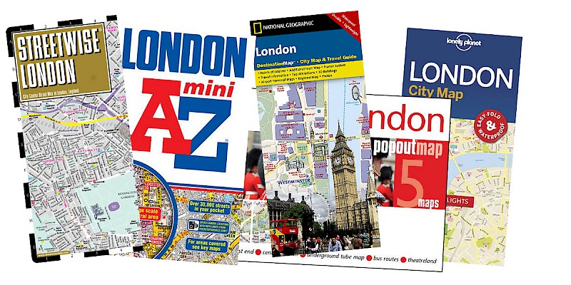
One is Streetwise London, a laminated, brochure-sized map that folds up, fits in a pocket (OK, so it pokes out), has an index, and somehow still manages to cover most streets in the center of London. Incredibly handy.
The other is the famous London A to Z , a compendium of every single little street, alleyway, and paved path in all of London. It is the cartographic Bible for the city of London, the well-thumbed reference work in every cabbie's glovebox, and lives in my day pack just in case I need it to pinpoint minor streets or want to explore outlying areas.
- Streetwise London - Amazingly detailed yet tiny, a foldable and laminated map that slips into your (deeper) pocketPartner
- London A to Z - One of the world's greatest street-by-street maps (pronounced "London A to Zed"). The only publication that lists every tiny alley and dead-end lane of the maze that is London's infrastructure.Partner
- National Geographic London City Map - A London map from the inimitable folks at National Geographic. Good overview and street index.Partner
- London PopOut Map - Intriguing map-based way to peruse London's neighborhoods, transit lines, and theatres.Partner


